Log in
All resources
Create a design
40,209 Free Images of Engraved Maps
maps made in the 17th century
atlantis magni tomus secundus (biblioteca comunale di trento)
maps made in the 18th century
nicolaes visscher ii
atlantis magni tomus tertius (biblioteca comunale di trento)
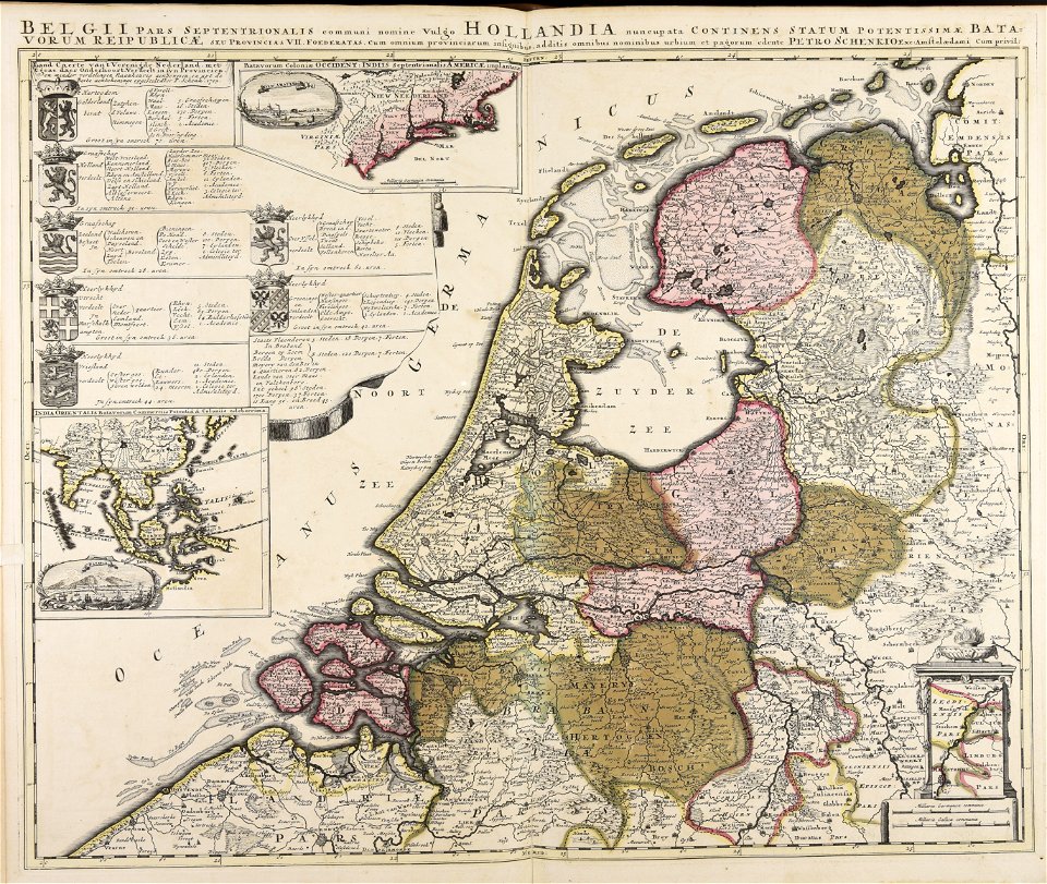
maps by pieter schenk (i)
johann baptist homann
jan janssonius
atlantis magni tomus quartus (biblioteca comunale di trento)
old maps of rennes
hatched coats of arms
old maps of ireland
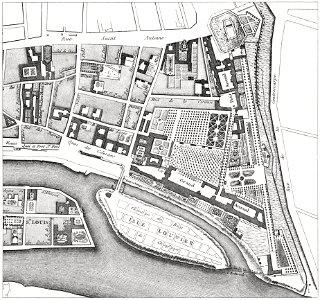
quartier de l'arsenal
bastille
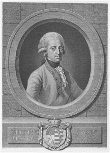
18th-century engraved oval portraits of men at half length
johann friedrich bause
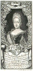
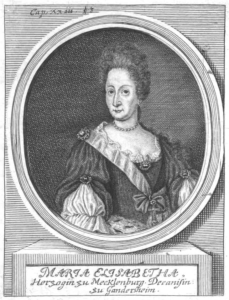
17th-century engraved oval portraits of women at bust length
coats of arms of waldeck-pyrmont family
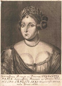
engravings after 17th-century portrait paintings of women
list of royal consorts of saxony
portraits with fans
everts
19th-century engraved portraits of standing men at full length
engravings after françois gérard paintings
artworks with known accession number
artworks without wikidata item
artworks with known accession number
artworks without wikidata item
18th-century engraved portraits of men at half length
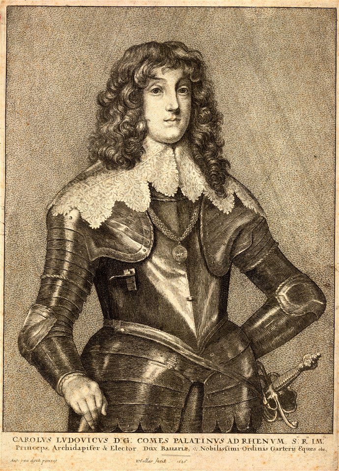
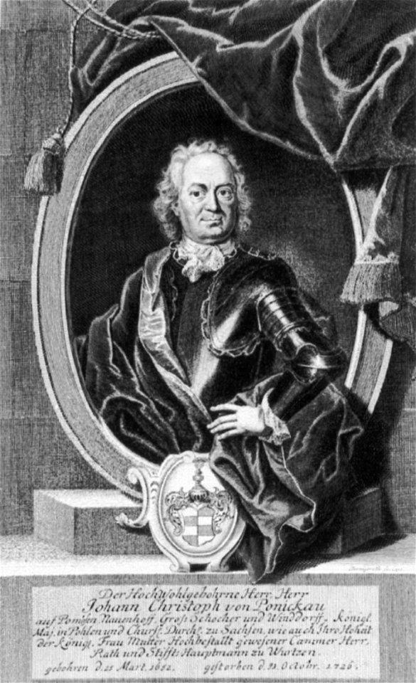
18th-century portraits wearing armour
18th-century engraved oval portraits of men at bust length in profile
18th-century round portraits of men
16th-century engravings
copper engraving
18th-century engraved oval portraits of men at half length
images from national library of scotland
18th-century engraved oval portraits of men at bust length
ermine (clothing) in art
lithographs by josef kriehuber
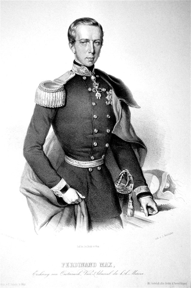
maximilian i of mexico
18th-century engraved portraits of standing women at three-quarter length
pierre-françois basan
engravings after 17th-century portrait paintings of men
works after anthony van dyck
17th-century engraved oval portraits of men at bust length
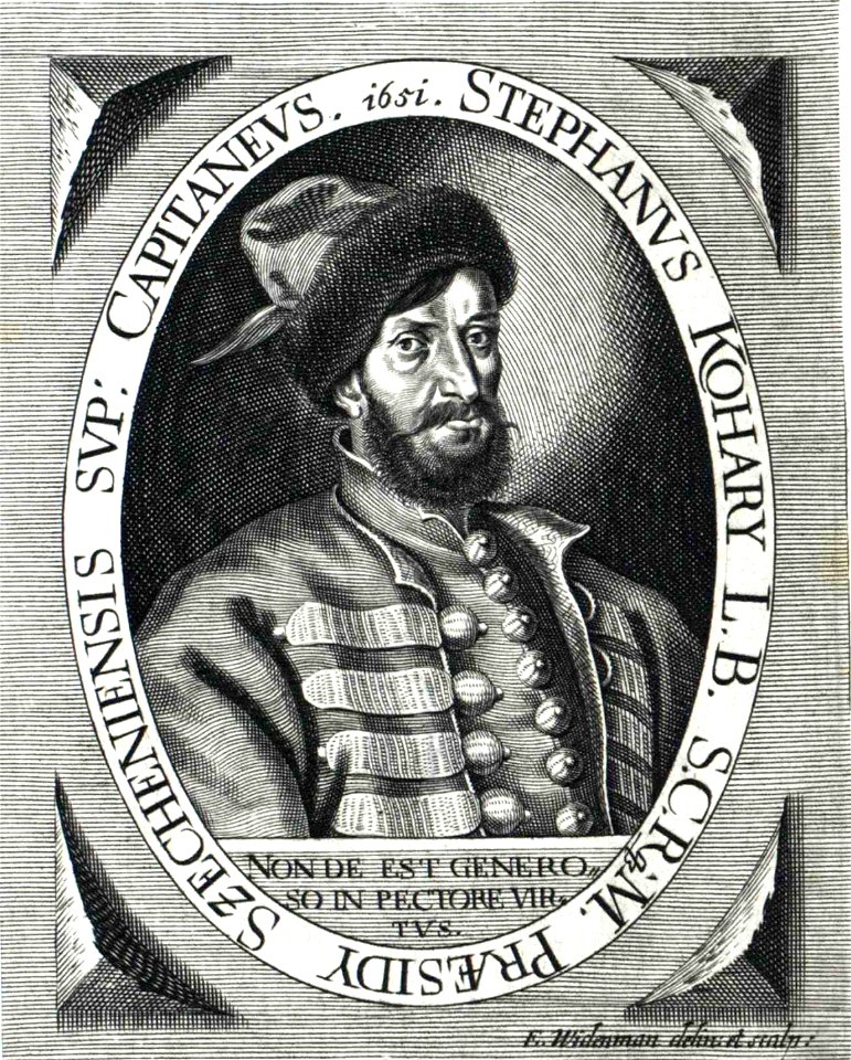
portrait engravings of men of hungary
18th-century engraved oval portraits of men at half length
monarchy
18th-century engraved oval portraits of women at half length
sashes of chivalric orders in portraits
engravings after 18th-century portrait paintings of women
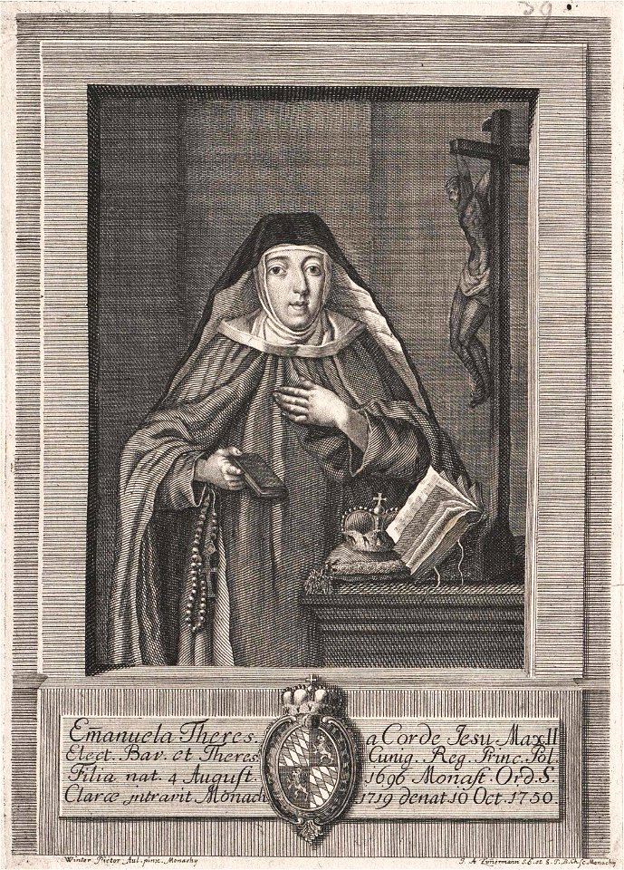
nuns from germany
johann baptist homann
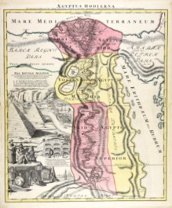
1720s maps of egypt
atlantis magni tomus secundus (biblioteca comunale di trento)
nicolaes visscher ii
1640s maps of france
jan janssonius
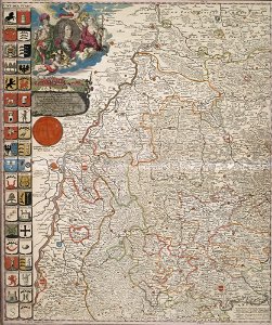
maps made in the 17th century
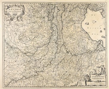
old maps of gelderland
coats of arms of baden-württemberg
duke of württemberg
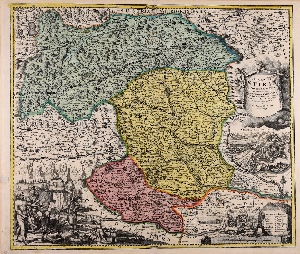
johann baptist homann
old maps of styria
atlantis magni tomus secundus (biblioteca comunale di trento)
maps made in the 17th century
maps made in the 18th century
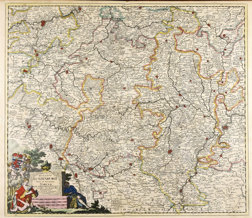
johann baptist homann
maps made in the 18th century
cornelis danckerts (i)
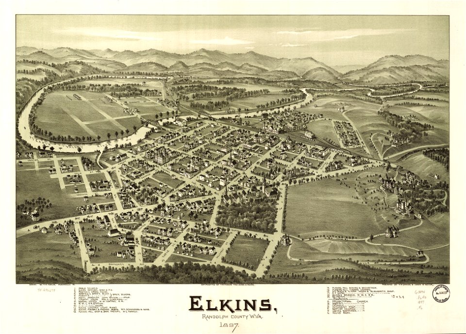
west virginia
elkins
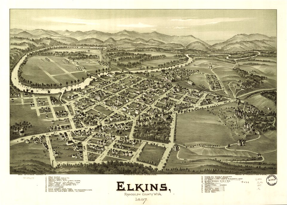
west virginia
elkins
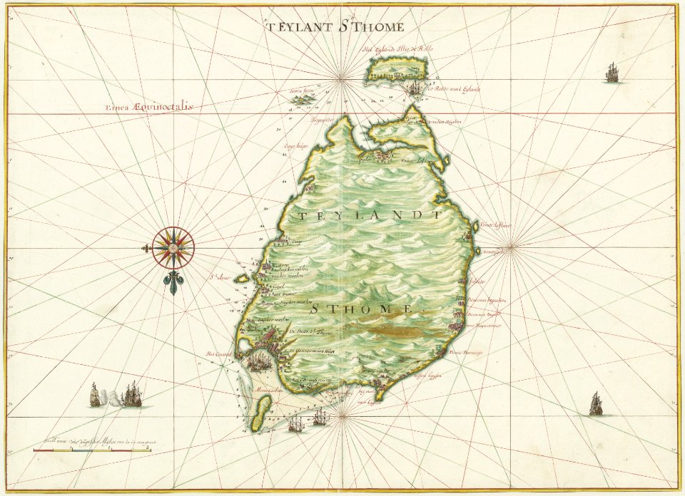
georg marggraf
elmina
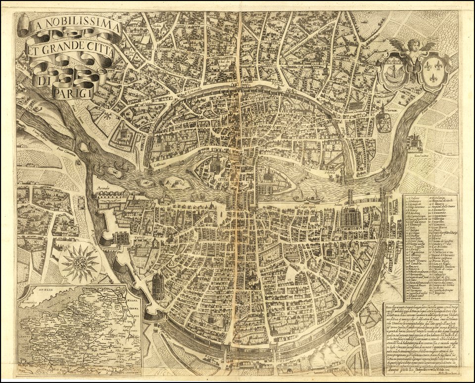
maps of paris from the barry lawrence ruderman antique maps inc.
la nobilissima et grande città di parigi by matteo florimi
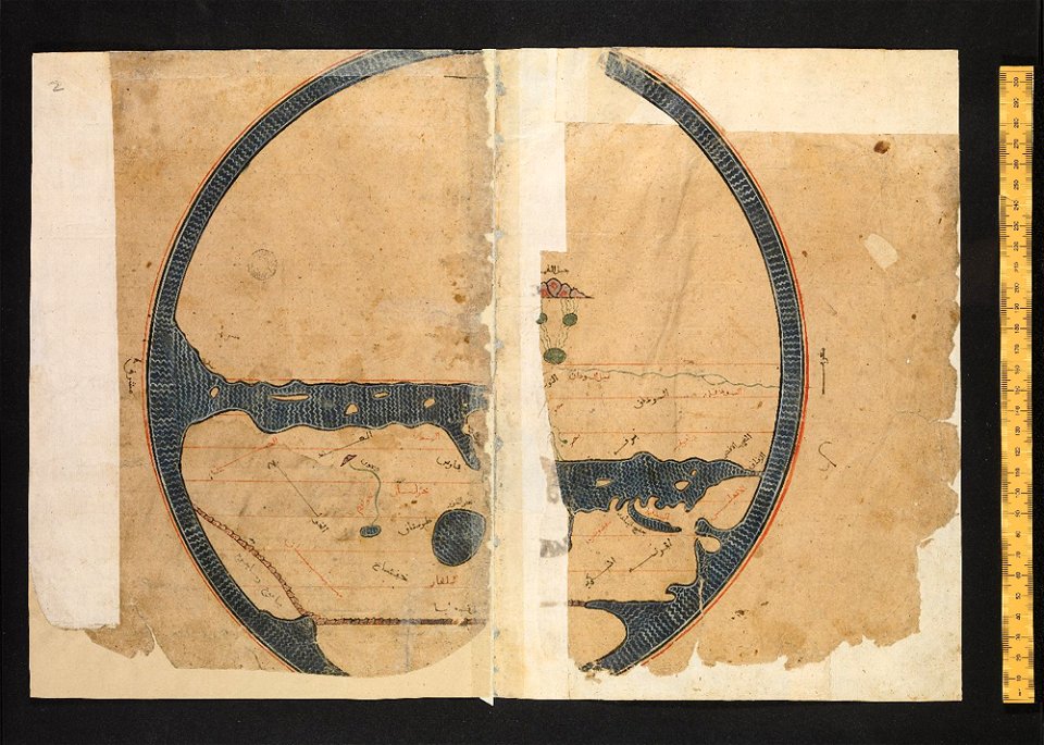
arabic-language manuscripts
bodleian library
maps in the national library of wales
old maps of whole wales (alone)
geographical atlas for the 5-6 grades of secondary school (1941)
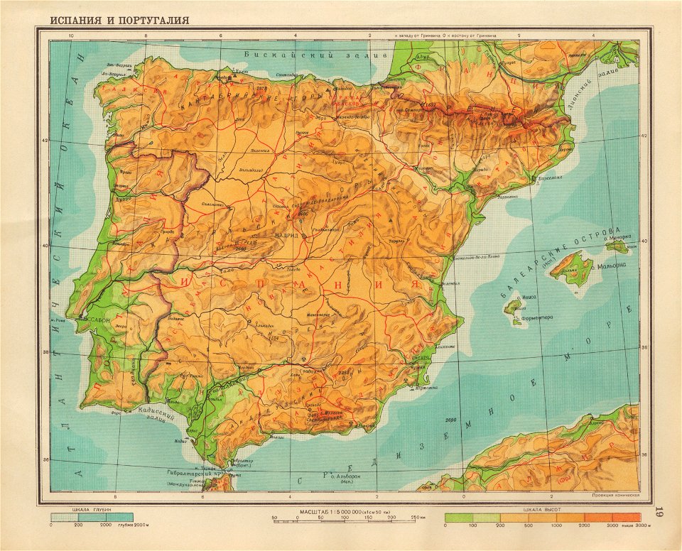
old maps of the iberian peninsula
bruce county
ontario
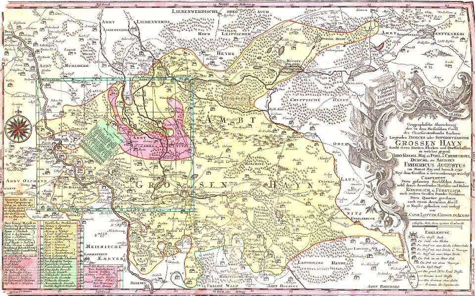
history of lorenzkirch
old maps of saxony
maps of the west-indische compagnie
1665
maps of the dutch east india company - indonesia
onrust island
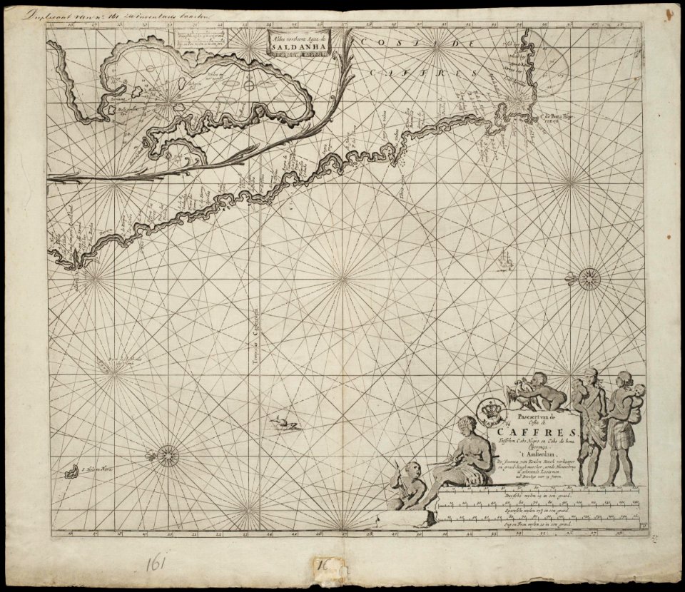
old maps of the dutch east india company - africa
johannes van keulen
maps of the dutch east india company - india
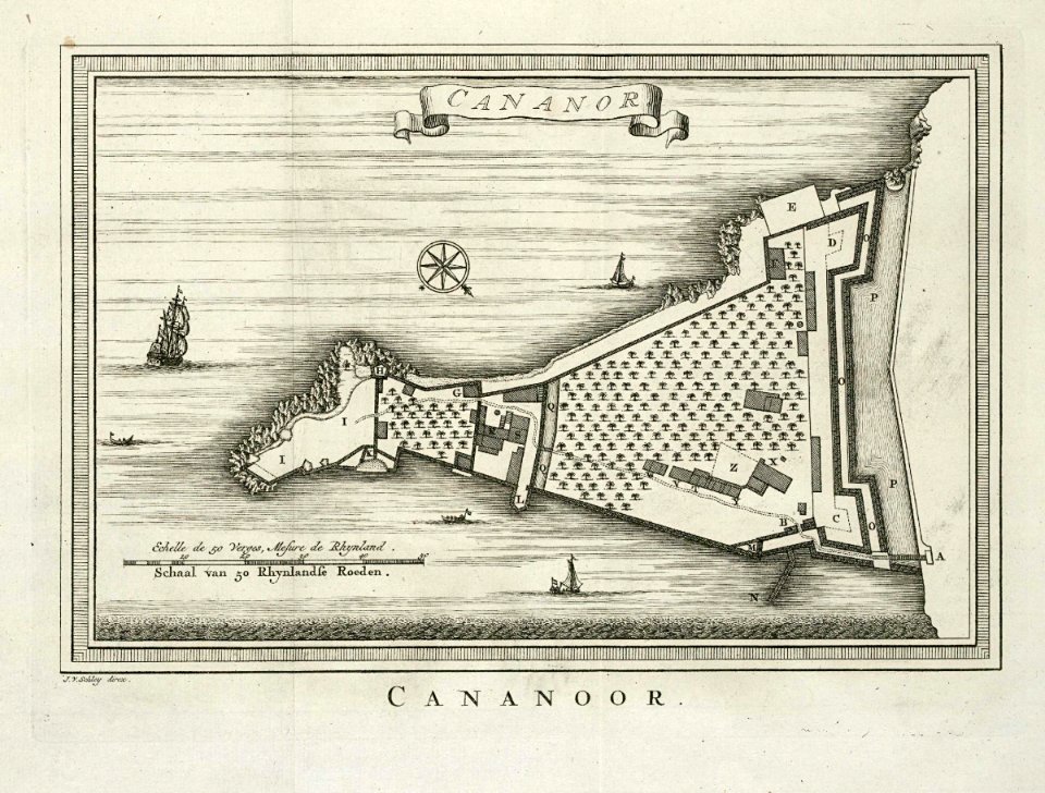
historical images of st. angelo fort
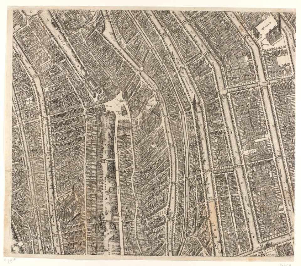
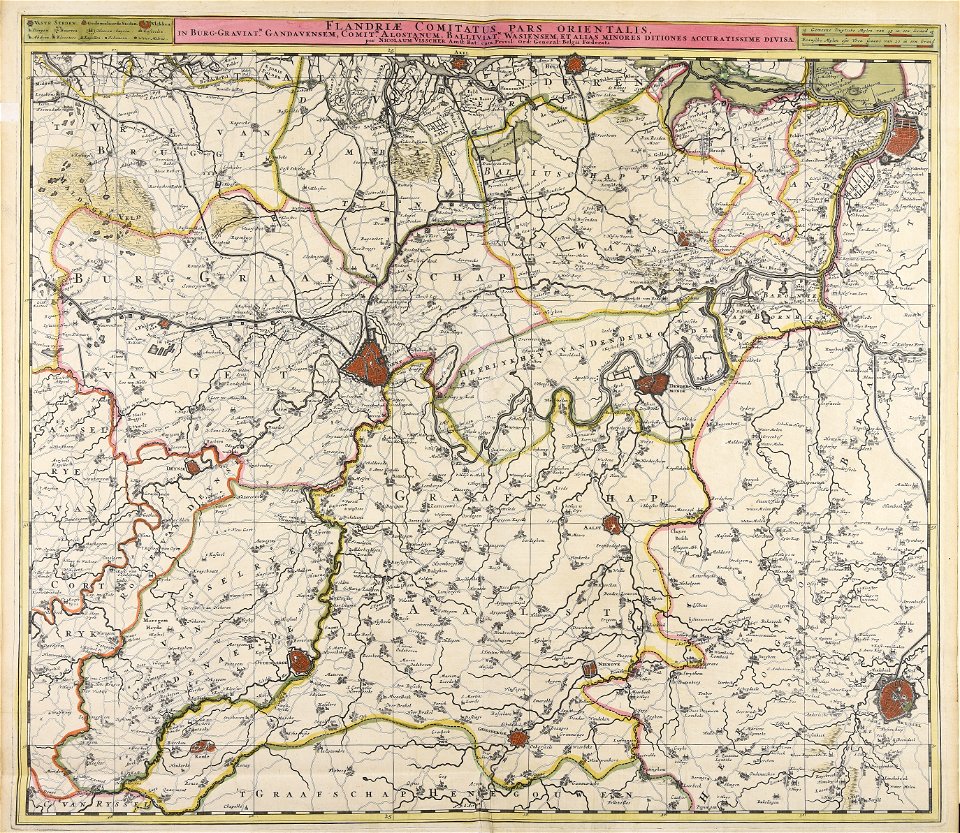
maps made in the 17th century
nicolaes visscher ii
maps made in the 17th century
nicolaes visscher ii
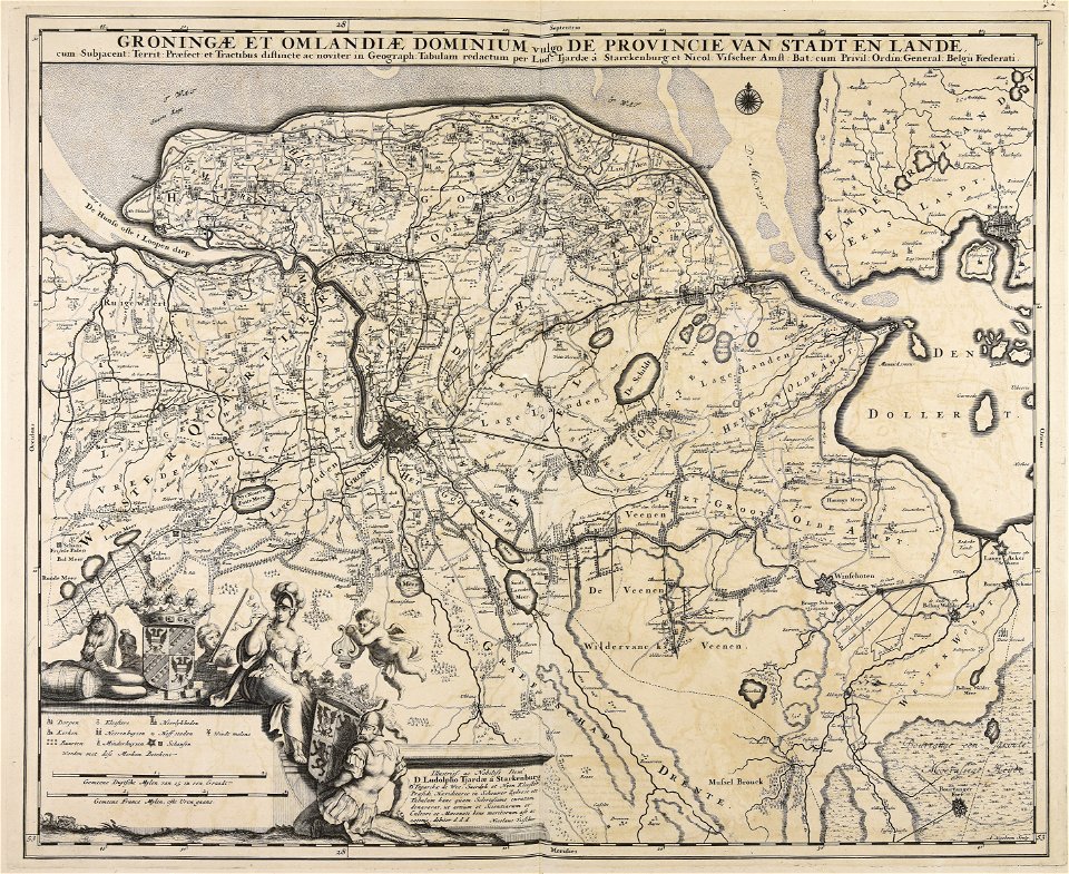
maps made in the 18th century
maps by pieter schenk (i)
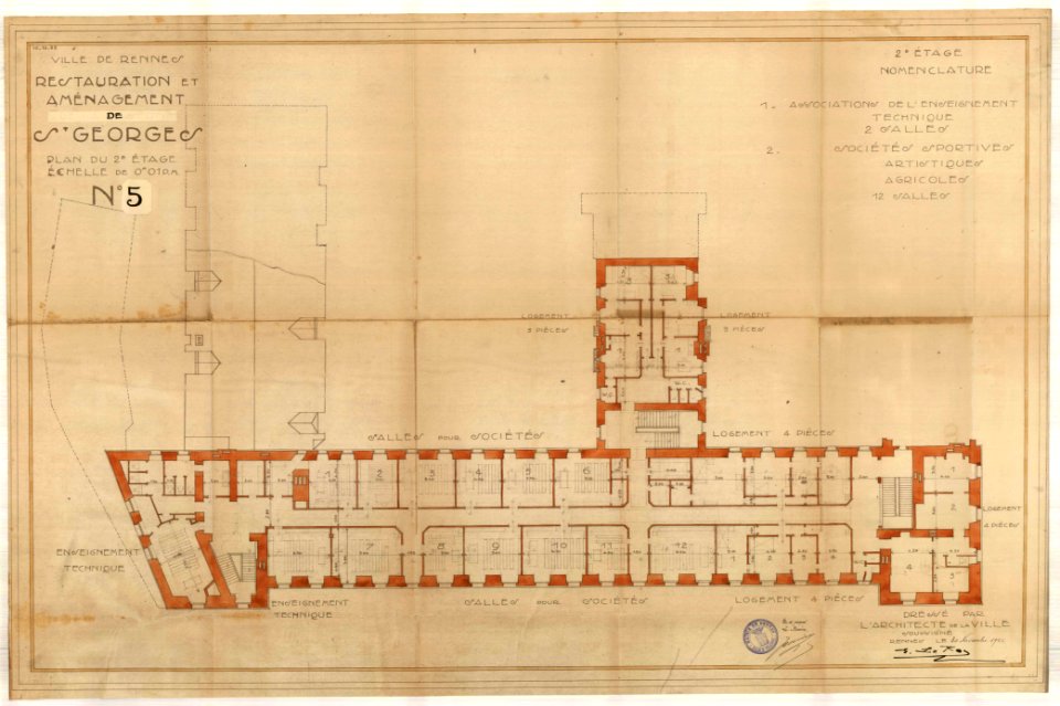
old maps of rennes
1922 maps
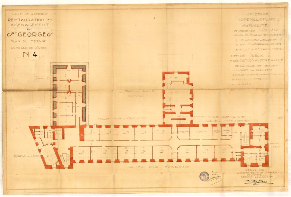
old maps of rennes
1922 maps
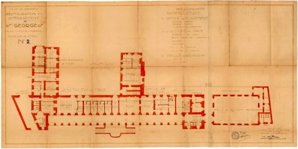
old maps of rennes
1922 maps
old maps of rennes
1922 maps
maps from the mechanical curator collection
british battles on land and sea
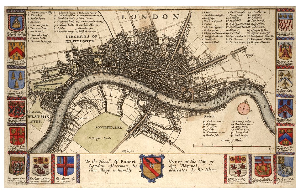
maps made in the 17th century
jan janssonius
maps made in the 18th century
paesi bassi
maps with cartouches
atlas van der hagen
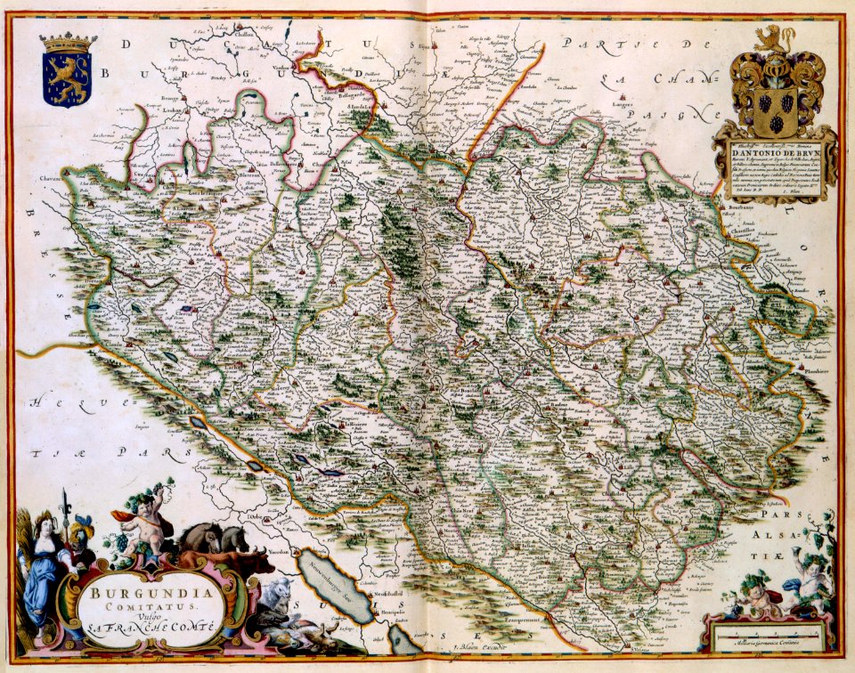
17th-century maps of france
maps with cartouches
17th-century maps of france
maps with cartouches
maps with cartouches
history of picardie
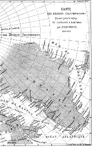
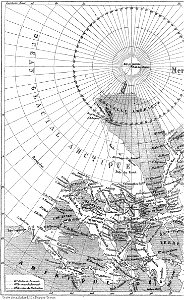
illustrations from the english at the north pole by riou and montaut
old maps of the arctic
illustrations from the english at the north pole by riou and montaut
old maps of the arctic
dutch 17th-century prints in the rijksmuseum amsterdam
maps in the rijksmuseum amsterdam
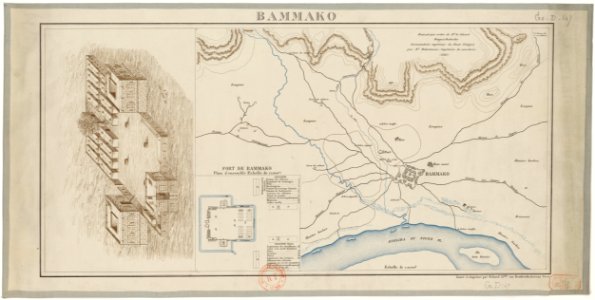
bamako in the 1880s
military maps
dutch 17th-century prints in the rijksmuseum amsterdam
maps in the rijksmuseum amsterdam
dutch 17th-century prints in the rijksmuseum amsterdam
maps in the rijksmuseum amsterdam
flemish prints in the british museum
etchings by wenzel hollar
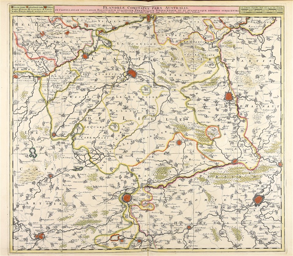
maps made in the 17th century
jan janssonius
maps made in the 17th century
nicolaes visscher ii
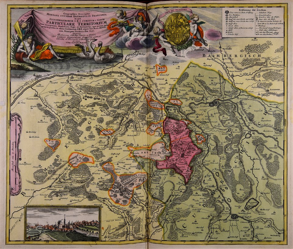
collections of staatsbibliothek bamberg
franconian switzerland
university of toronto wenceslas hollar digital collection
hollar maps and plans of london
pleasureground (klein-glienicke)
parts of old maps of berlin
collections of staatsbibliothek bamberg
franconian switzerland
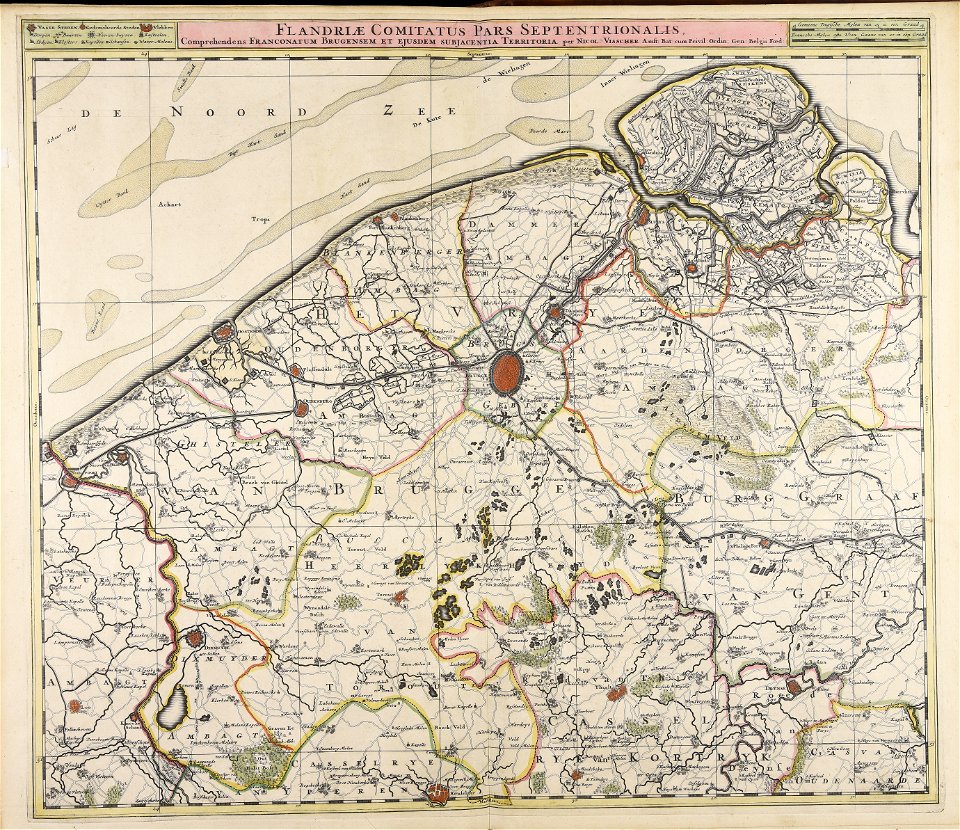
maps made in the 17th century
nicolaes visscher ii
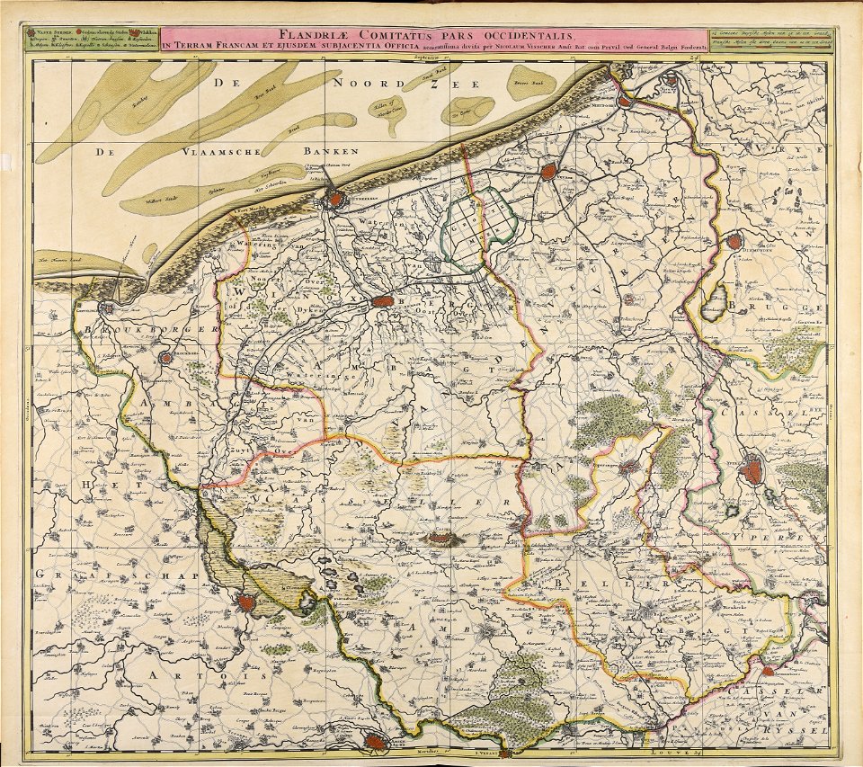
maps made in the 17th century
nicolaes visscher ii
maps made in the 17th century
nicolaes visscher ii
maps made in the 17th century
nicolaes visscher ii
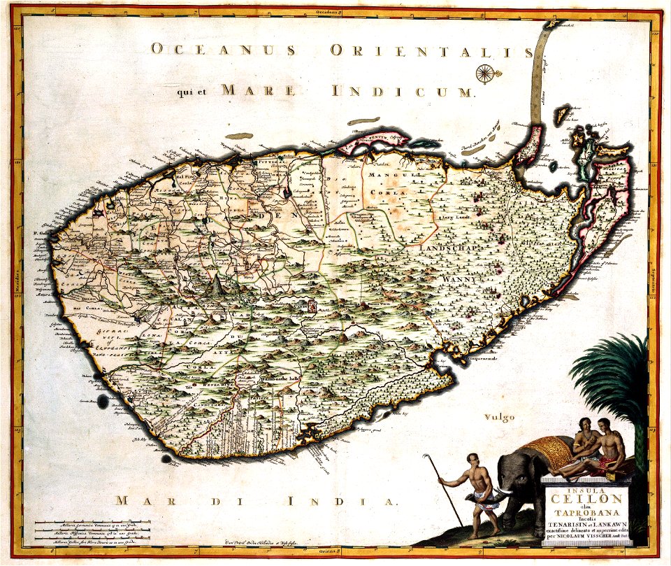
old maps of sri lanka
koral
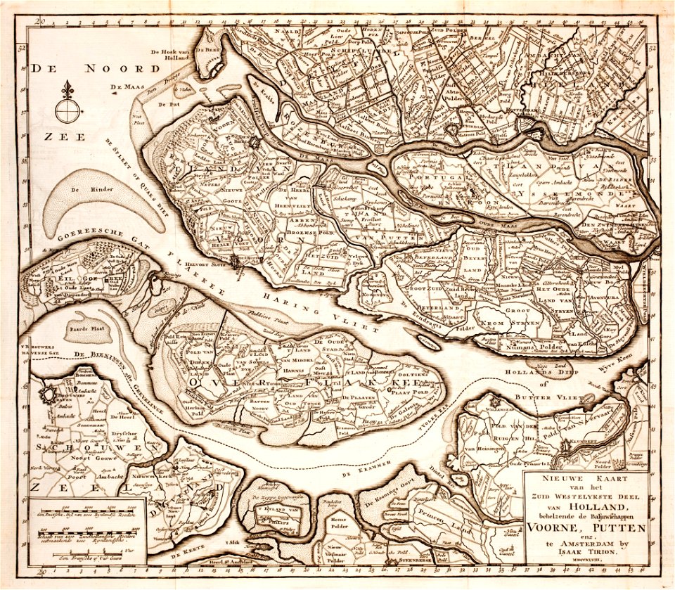
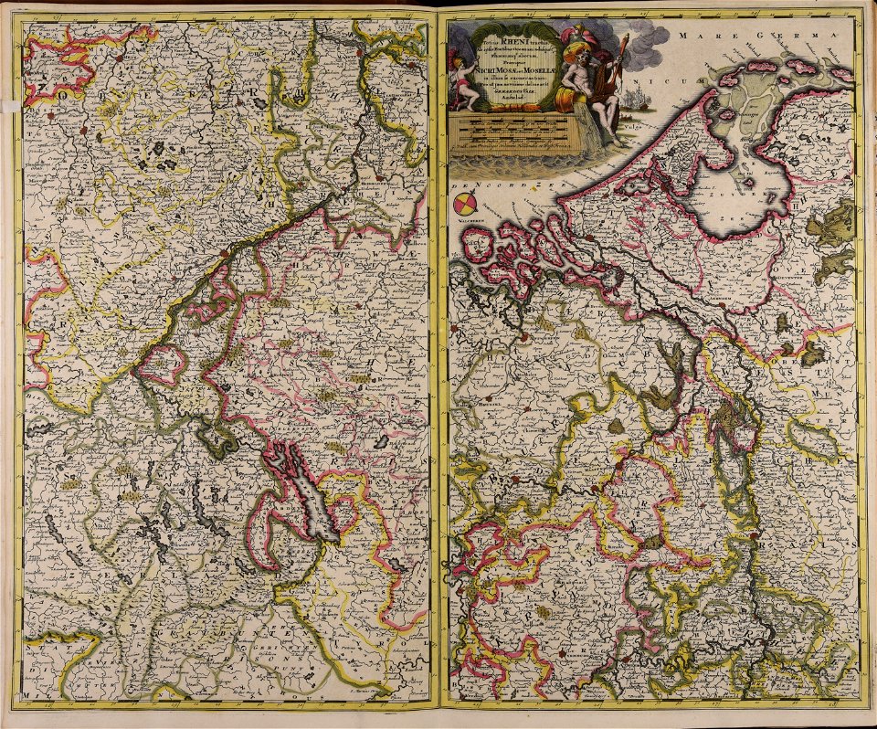
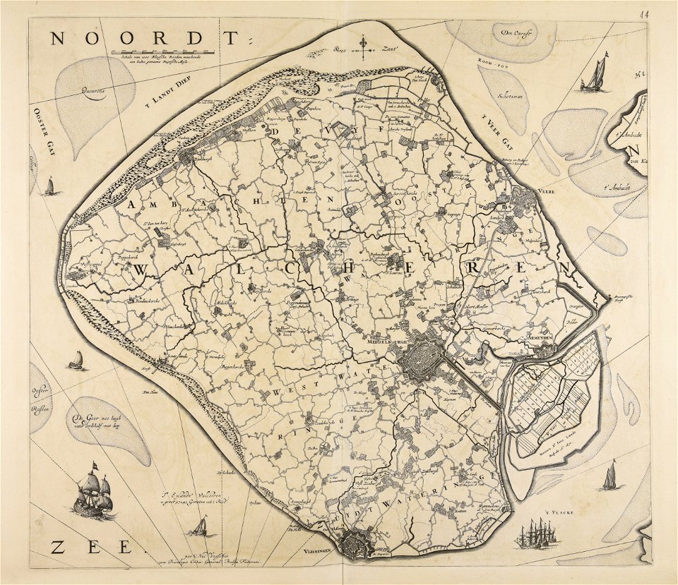
old maps of zeeland
old maps of holland
maps made in the 17th century
jan janssonius
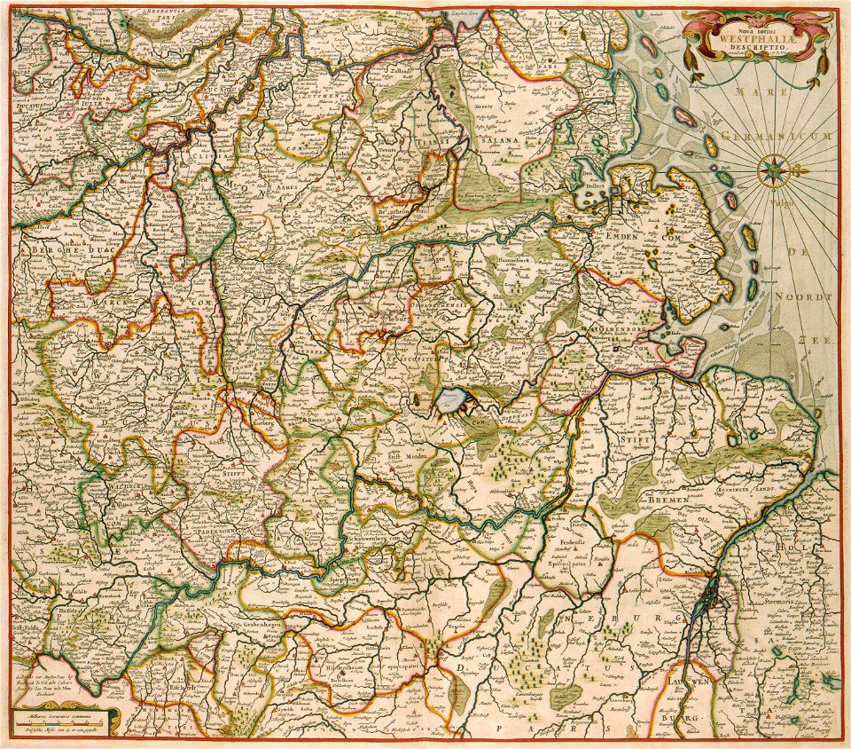
18th-century maps of schleswig-holstein
maps by pieter schenk (i)
maps made in the 16th century
old maps of lazio
atlantis magni tomus quintus (biblioteca comunale di trento)
maps made in the 18th century
atlantis magni tomus tertius (biblioteca comunale di trento)
maps made in the 17th century
maps made in the 16th century
old maps of lombardy
atlantis magni tomus tertius (biblioteca comunale di trento)
maps made in the 17th century
maps made in the 18th century
johann baptist homann
maps made in the 17th century
old celestial maps
alfred johannot
bridge of arts
atlantis magni tomus quartus (biblioteca comunale di trento)
maps made in the 17th century
atlantis magni tomus quartus (biblioteca comunale di trento)
maps made in the 18th century
volume 1 of le tour du monde
maps of the bay of kotor
images from the john carter brown library
maps by samuel de champlain
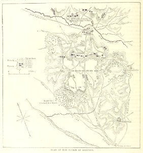
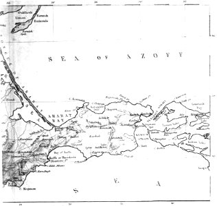
old maps of the sea of azov
1856 maps
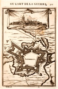
old maps of landrecies
pentagon
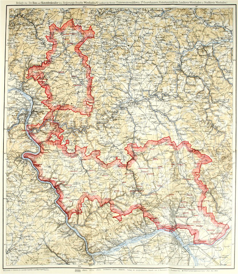
images from bau- und kunstdenkmäler des regierungsbezirks wiesbaden (volume 5)
german-language maps showing history of europe
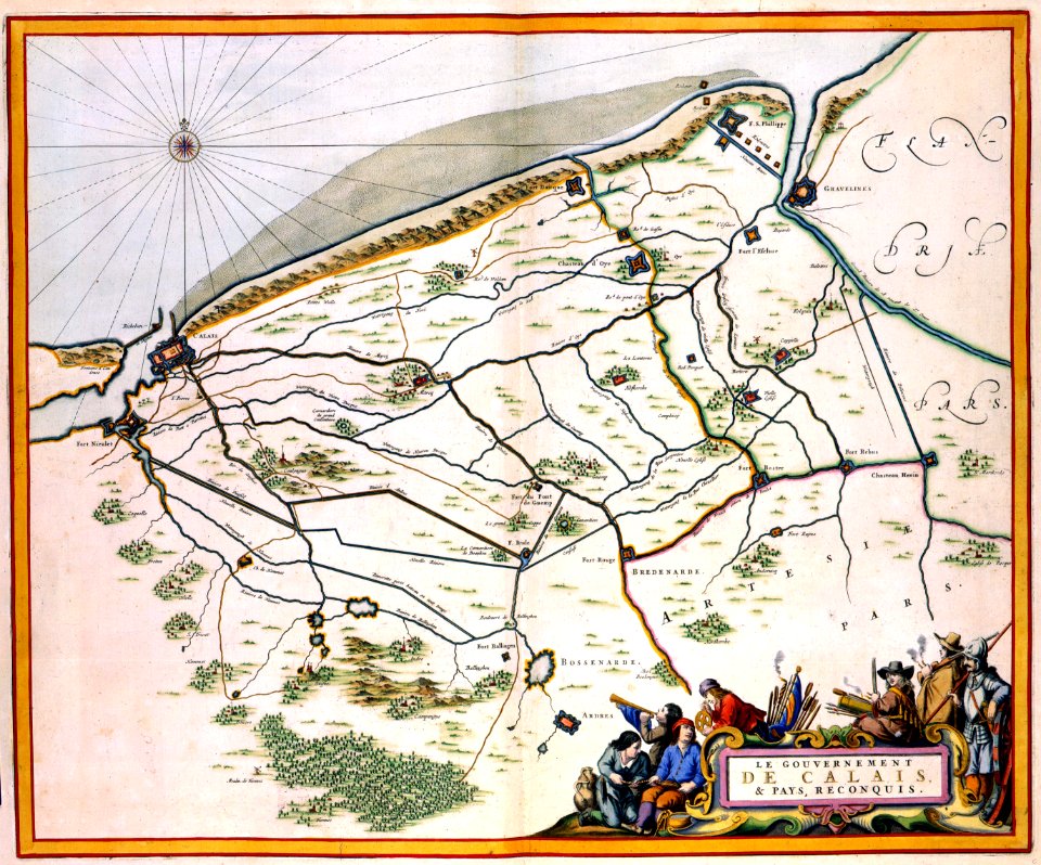
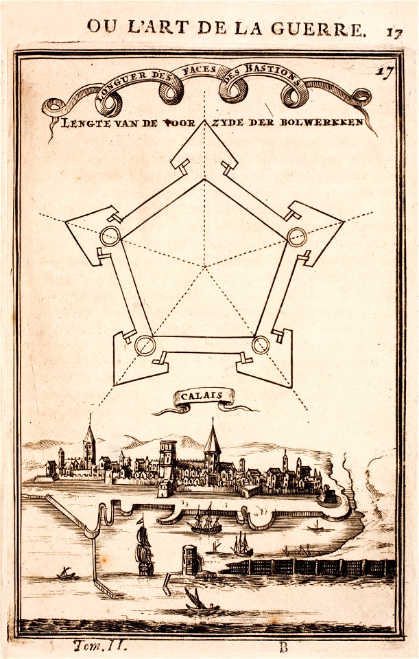
old maps of calais
pentagon
charts and maps of the royal museums greenwich
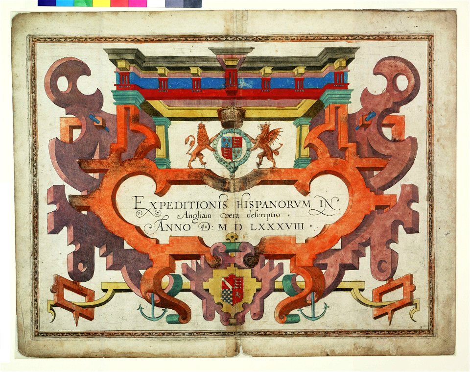
1590 maps
maps made in the 18th century
gerard valck
russian-language maps
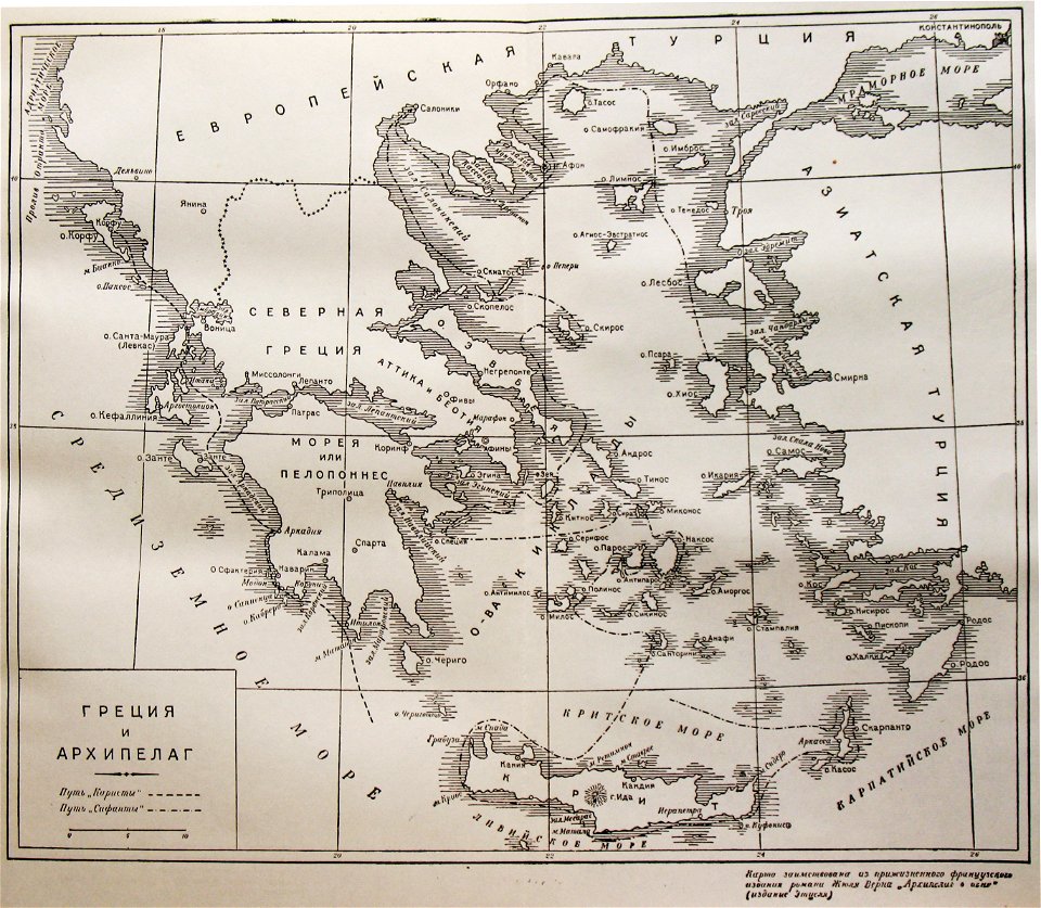
old maps of greece
topographic maps of afghanistan
wakhan corridor
maps made in the 17th century
frederick de wit
maps made in the 17th century
nicolaes visscher ii
7401 - 7500 of 40,209
Next page
/ 403